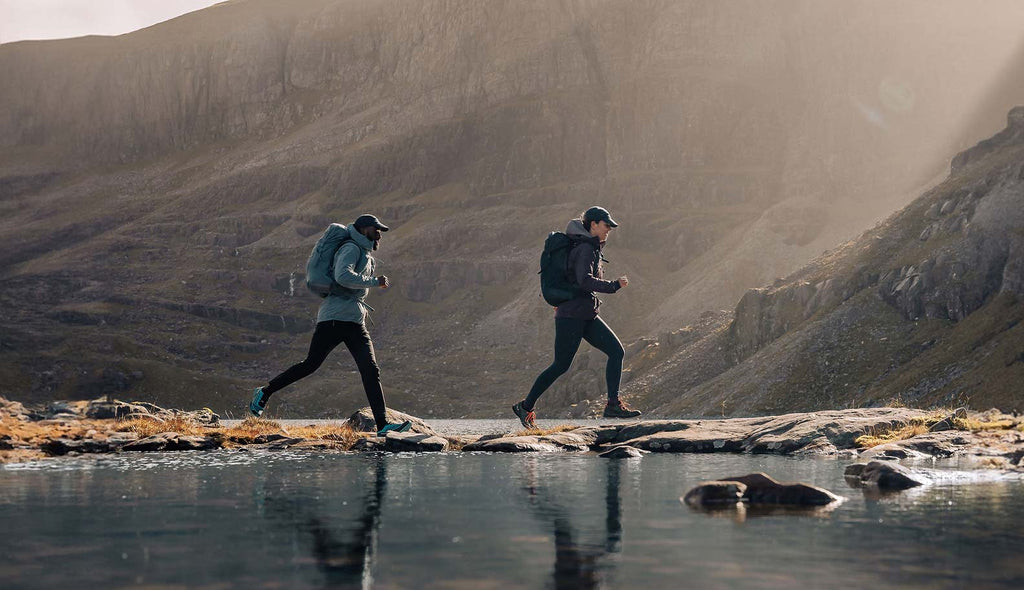
Freedom in the mountains means finding your own path. It means discovering new ways to move fast and light. It means long-term confidence in your clothing and equipment. Be free, be adventure-ready this season. Explore the outdoors with Montane’s lightweight, mountain-durable gear for fast and light adventures…
New no-compromise waterproofs
Building on our existing range of protective waterproofs, this season we challenged ourselves to create a timeless waterproof where every development decision was made to reduce its impact, without compromising on its performance.
The result? For spring we’re delighted to launch the Solution Waterproof Jacket and Solution Waterproof Pants, our first fully PFC-Free DWR waterproofs, made with 93% recycled materials and solution-dyed to reduce water consumption.
Already internationally recognised at ISPO 2023, the award-winning Solution Jacket is a key milestone on Montane’s journey towards correcting our path. The ultimate waterproof jacket to keep you dry and protected on mindful missions this season.

New lightweight layers
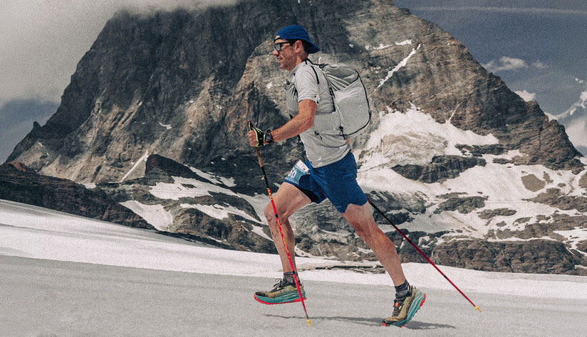
Looking to go further on the trail this spring? Our lightweight layers will help you to push through your comfort zone. From bestselling Dart Base Layers in new colours, including the high-performance Dart Nano that’s 30% lighter than the Dart T-Shirt, to highly durable. lightweight fleeces, like the Fury Lite, that are essential as part of your layering system.
This season we’re also pushing the limits of what's capable of ultralight windproof performance, with the launch of the 52g Featherlite Nano Windproof Jacket. Packing down small into its pocket, this is the ultimate grab-and-go protective layer for your fastest missions in the mountains.
For a truly versatile layer for your fast and light missions this season, don’t miss the Sirocco Lite Insulated Jacket. Combining two high-performance fabrics in perfect synergy, the highly breathable, warm Sirocco Lite will become your go-to for a range of fast-paced adventures in the mountains.
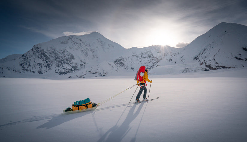
New mountain-durable recycled packs
Tested in the mountains, mapped to your body. Our Trailblazer Backpacks have been updated for spring and summer 24 and are now made with durable recycled Nylon fabrics throughout. In addition to this the Trailblazer packs now come with improved pocket configuration for easy access storage and improved back support, for essential all-day comfort.
Available in a range of sizes to suit your needs in the mountains, including a Waist Pack for shorter missions, as well as a new 30 L capacity backpack for women. Carry your support team on your back this season with these lightweight, modular packs.